Satellite
-
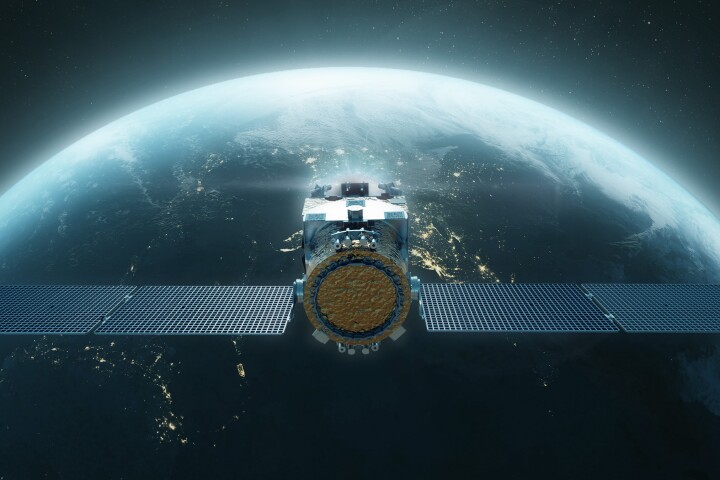 A spacecraft about the size of a gas pump is being developed for the US Space Force program to refuel orbiting satellites. The goal is to extend the lifespan of craft that have run out of juice instead of simply decommissioning them.
 -
 Rocket science got a bit more science-fiction-like as RocketStar announces it has successfully demonstrated a new ion drive that incorporates nuclear fusion. It's not the sort of fusion that powers the Sun, but it does improve thrust by 50%.
 -
 In a mobile communications breakthrough, SpaceX has sent the first X post from a regular, unmodified smartphone using Starlink satellites in low Earth orbit, bringing the end of cellular dead zones a step closer.
 -
 Northrop Grumman's Passive Refueling Module (PRM) has been tapped by the US Space Force as the preferred model to set the standard for Space Force's Space Systems Command (SSC) to refuel satellites in orbit to extend their mission life.
 -
 SpaceX has launched a new Starlink constellation of satellites for T-Mobile with Direct to Cell capabilities. These will allow subscribers with smart phones to call, text and browse directly from satellites, even when they're in a reception 'dead zone'.
 -
 NASA’s asteroid-exploring spacecraft Lucy has made its first up-close observations – and discovered something unexpected. The asteroid Dinkinesh not only has a small satellite orbiting it, but that mini-moon is made up of two objects stuck together.
 -
 NASA will soon demonstrate a laser-based communication system between ground facilities and the International Space Station. The technology will boost data transmission speeds by 10 to 100 times, potentially opening a new standard in deep space comms.
 -
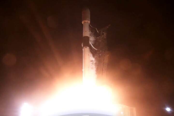
 Two test satellites blasted off on board a United Launch Alliance Atlas V rocket emblazoned with Amazon’s famous logo on Friday, ahead of more than 3,200 planned to orbit the Earth, challenging Elon Musk’s reign over broadband real estate in space.
 -
 In an historic experiment, ESA has made a controlled reentry of its Atmospheric Dynamics Mission-Aeolus (ADM-Aeolus) satellite in a maneuver designed to reduce the risk of such end-of-life events creating space debris or fragments reaching the ground.
 -
 Radio telescopes are picking up strange signals from an intelligent lifeform – ourselves. A new study has shown that satellite constellations like SpaceX’s Starlink swarm are unintentionally leaking signals that can interfere with vital observations.
 -
 California startup Varda has celebrated the deployment of its first satellite, a test run of a fascinating space-based pharmaceuticals factory that moonlights as a hypersonic test rig during its Mach 25 re-entry to keep costs down.
 -
 As its Aeolus wind monitoring mission comes to an end, ESA is testing new procedures for deorbiting the decommissioned 1360-kg (3,000 lb) spacecraft to burn up in the Earth's atmosphere, advancing international space safety standards.
Load More