Mapping
-
 A new AI-based system allows coral reefs to be 3D-mapped faster and easier than ever before. It could prove integral to saving threatened reefs, by letting scientists study them both onsite and at their computers in their labs.
 -
 Researchers have revealed how regular ketamine use produces divergent changes in parts of the brain that produce the ‘feel-good’ neurotransmitter, dopamine. The discovery could have significant implications for the treatment of mental illness.
 -
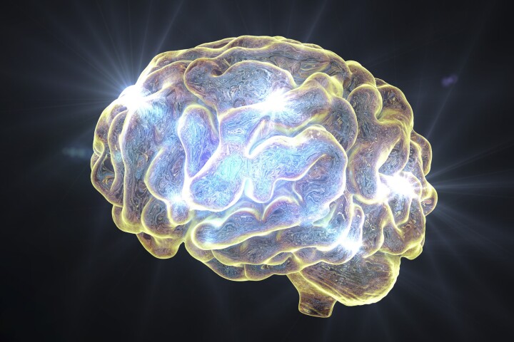
 A new study has examined brain maps of people with mental illness and found that despite individual differences, common brain areas are affected. Researchers say this information may be useful for developing targeted treatments for different disorders.
 -
 On frequently travelled waterways, it's essential for vessel operators and local authorities to have maps of both bottom and shoreline features. A newly adapted autonomous watercraft could soon make the creation of such maps easier than ever before.
 -
 Using old insurance maps, researchers enabled a machine-learning system to create 3D models of neighborhoods that no longer exist. The technique could lead to VR tours of the 'hoods, as well as provide data on the various impacts of urbanization.
 -
 Since we first got wind of Saildrone's autonomous USVs back in 2018, they've mapped miles of ocean floor, chased hurricanes, and surveyed remote regions. Now the company is adding a new vessel to tackle near-shore mapping and maritime surveillance.
 -
 In July last year, Saildrone launched one its sensor-packed unmanned aquatic drones on a voyage of discovery in the North Pacific, tasked with filling in ocean mapping blanks around Alaska's Aleutian Islands as well as off the coast of California.
 -
 Exploring an unmapped cave system is a daunting enough prospect on its own, but think how risky it would be to do so on another planet such as Mars. That's why a new system is in the works, which would use "breadcrumb"-dropping rovers to do the job.
 -
 Norway's Argeo has launched the first uncrewed survey and inspection vessel based on the Mariner X platform from Maritime Robotics. The Argus is expected to undertake mapping and inspection operations for offshore wind projects.
 -
 An international team of scientists and cartographers has released the most detailed map of the seafloor of the Southern Ocean that surrounds Antarctica. It covers 48 million km² and includes the deepest spot yet found in the region.
 -
 Mapping the inside of cramped, difficult-to-reach areas can be helpful to people such as plant operators, but drones flown in such places could easily crash. The LiDAR- and cage-equipped Elios 3 quadcopter was designed with that challenge in mind.
 -
 Because GPS doesn't work indoors, it can be difficult for robots to determine where they are within a structure. A new system could help, by using a building's existing Wi-Fi access points to guide wheeled or walking robots.
Load More