Geography
-
 UFOs are having a renaissance lately, moving beyond the tinfoil-hatted crowd and into the realm of serious government investigation. Now a study has analyzed the geography of almost 100,000 sightings and found a few clues about how they cluster.
 -
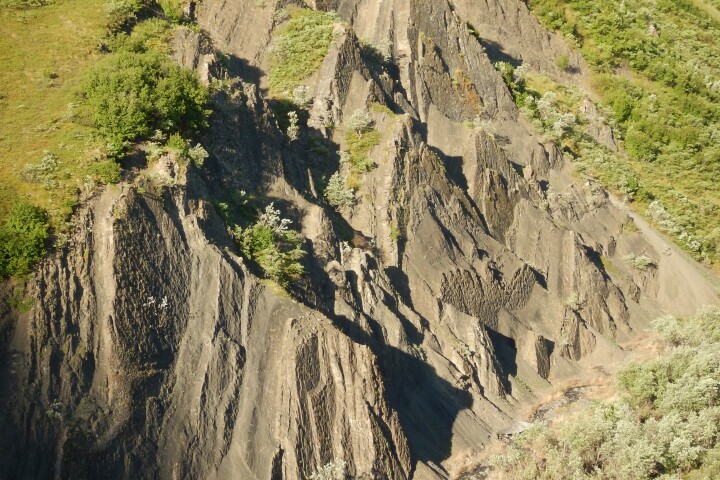 Scientists have found a massive area the size of 1.5 football fields, now dubbed "The Coliseum," which was once a popular thoroughfare to water for multiple species of prehistoric beasts over many generations some 70 million years ago.
 -
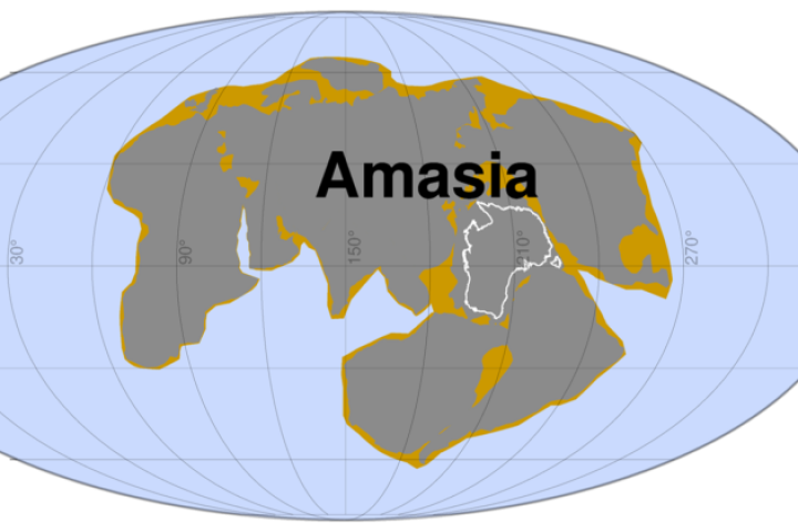 New modeling from researchers at Curtin University has simulated 300 million years of tectonic plate movement to predict the formation of a supercontinent called Amasia. The modeling estimates the Pacific Ocean closing and America colliding with Asia.
 -
 The Kingdom of Denmark just got a teeny bit bigger after researchers from the University of Copenhagen accidentally discovered the world's northernmost island. Measuring only 100 x 200 ft, the still unnamed isle is located off the coast of Greenland.
 -
 ScienceAs any high school student will tell you, Earth has seven continents. Now researchers from Australia and New Zealand are challenging this fundamental notion by proposing an eighth continent in the oceans east of Australia, dubbed Zealandia.
 -
 Australia is slowly drifting north at a constant rate, significantly throwing off its global coordinates, which could wreak havoc on GPS in future. A government organization is now working to correct the discrepancy, by updating the country’s coordinate system for the first time in over 20 years.
 -
 Marmota, a prototype mobile AR device, tells users about the landscape that surrounds them.
 -
 ScienceThe City Light Globe is a revolving globe that shows both Earth during the day and the city lights around the world at night as seen from orbit..
 -
 May 18, 2007 The European Space Agency's GlobCover project has unveiled the most detailed portraits ever of the Earth's land surface. Using around 40 Terabytes