Is it actually smoggy outside today, or is it just you? If you have the Visibility app on your Android smartphone, you can find out. Just take a picture of the sky, and you will receive a message detailing how polluted the air is at your location. Not only will you know if you should take shelter indoors, but you will also be contributing to the scientific understanding of local air pollution.
Visibility is an experimental app, created at the University of Southern California’s Viterbi School of Engineering. It works because of something called “haze aerosols.” These are the tiny particles of dust, engine exhaust, smoke, and other materials that make up air pollution. Their presence in the atmosphere limits how much light can be seen through it, which is why scenery viewed through smog looks hazy and less distinct.
Visibility sends a user’s photo of the sky as a small black-and-white file to a central computer, along with data from their phone’s GPS, compass, clock and accelerometer. The computer compares the luminance value of the sky in the photo to algorithmic models for the specific time and coordinates at which the phone data indicates the image was taken. If the sky in the photo isn’t as bright as the model says it should be, it means that some of the sunlight wasn’t making it through the atmosphere, because it was blocked by haze aerosols. Not only does the computer then send the user a report on the level of air pollution, but it also stores the information (without the user’s identity) to augment pollution maps for the area.
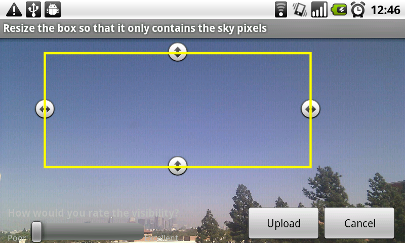
When users are taking the photos, it’s important that they get the camera-to-sky orientation exactly right. For that reason, an onscreen guide helps them to line up their shot, using the phone’s accelerometer to determine when it’s at the correct angle. It’s also important that the shot be mostly of sky, but instead of controlling that factor electronically, it is simply left to the discretion of the user.
Visibility has been tested in several locations, including near a conventional air pollution monitoring station in Los Angeles, to which its readings were similar. It is currently available as a free download and the researchers are hoping that a lot of people will use it, so they can provide feedback for improvements. A version for the iPhone is on the way.