It wasn't so long ago when those wanting to visualize the landscape around them would have to use a topographic map and a fair bit of imagination. Nowadays we are spoilt by the immersive opportunities offered by the likes of Google Earth, or even GPS technology, but there's nothing quite like a holographic image for recreating a 3D representation of the surrounding terrain on a 2D surface. While the digital holographic prints produced by Zebra Imaging are not exactly as pocket-friendly as maps, they are quite simply stunning.
With the speed at which technology is moving, it won't be too long before those of us who like to wander through the streets and ramble through the countryside will be able to reach into our pockets for a lifelike three-dimensional representation of the terrain in front of us. The cutting edge combination of laser, optics and image processing technology used by Zebra Imaging already allows for the creation of lifelike 3D holographic visualizations in a format that can be rolled up and transported around.
The company takes three-dimensional digital data from sources like CAD models, laser scans and satellite imagery and produces a single portable, film-based hologram that can be made to jump out from the surface with the aid of a halogen or LED light source. Zebra explains that "the light is reflected and controlled by hogels and combines and emerges from the hologram surface in the same way it would if a solid physical model were actually there."
The end product can bring a landscape to life or allow engineers to view component designs from a number of different perspectives... or just wow an audience. The technology offers a three-dimensional viewing experience of static objects or scenes without the need for special glasses, and is said to allow onlookers to enjoy 360 degrees of image continuity.
Zebra Imaging's full-color or monochrome solutions benefit from protective coatings for durability and can also be annotated. Up to four images can be combined in one holographic print and, being actual physical products, there's no need to worry about keeping up to date with firmware updates on computerized equipment.
The company says that thousands of prints have been used for visualization and defense planning by the U.S. military. Mapping and surveying, engineering and construction, and architecture and design are amongst Zebra's main production markets.
Color ZScape pricing starts at US$1,500 for a 12 x 18-inch print. A monochrome flavor of the same size is priced at US$700.
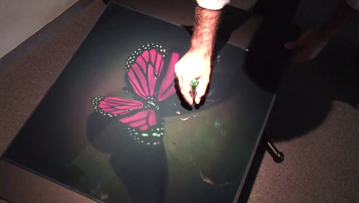
The company's Michael Klug introduces the technology in the following video: