Aircraft
From autonomous flying-taxis to experimental hypersonic craft, check out what's new in the world of aviation.
LATEST NEWS
-

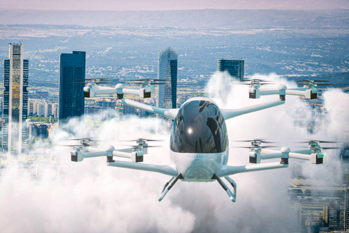
Video: Beta Alia nails first manned eVTOL transition to cruise flight
April 23, 2024Vermont's Beta Technologies has emerged a leader in the eVTOL space, and it's now become the first to perform a successful transition – from helicopter-style hovering to airplane-like cruising – with a pilot on board. -

Video: Boom's XB-1 cleared for supersonic test flights
April 17, 2024Boom has been given permission to go supersonic by the US FAA. The first-ever Special Flight Authorization (SFA) to Exceed Mach means the company's XB-1 prototype will be allowed to break the sound barrier during its test flights. -
Video: Odd Spanish eVTOL demonstrates fractal propulsion system
April 09, 2024How did we miss this one? This Spanish eVTOL has been flying in prototype form for a number of years now, using a unique 4x4-prop FlyFree tilting mechanism designed to keep the cabin level – and a new five-seat design takes things up a level. -

6x6 eVTOL-launcher adventure van edges closer to a new travel reality
April 04, 2024One of the most outrageous sci-fi vehicles we've ever seen is moving toward a 2025 debut. This electric six-wheel off-roader can stop and deploy a two-seat eVTOL aircraft, for unstoppable multi-mode adventure travel on an entirely new level. -

Video: World's first Jet Suit Grand Prix delivers thrills – and spills
April 03, 2024The first ever jet suit race has been held in Dubai. Racers each wrestled the thrust from seven 130-hp jet turbines to levitate and negotiate a course in spectacular head-to-head duels – and the event delivered the sport's first jet suit crash. -

Quarterhorse hypersonic aircraft program prepares to fly Mk1 prototype
April 02, 2024Fast-tracking the hypersonic era, Hermeus has rolled out the next prototype of its program, to create a family of aircraft that can fly beyond Mach 5. The Quarterhorse Mk 1 is set to fly later this year, testing its high-speed takeoffs and landings. -
Video: Supersonic drone flies with revolutionary detonation engine
April 01, 2024A supersonic drone that will be propelled by a revolutionary new engine has taken to the skies for the first time. When Venus Aerospace's aircraft does go supersonic on a later date, it will be powered by a Rotating Detonation Rocket Engine (RDRE). -
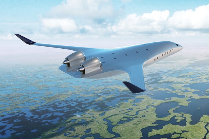
JetZero's ultra-efficient blended wing demonstrator cleared for takeoff
March 27, 2024The basic shape of a passenger jet hasn’t really changed much for decades, but radical new shapes are inching closer to production. JetZero has announced that its beautiful blended-wing demonstrator has been FAA-approved to begin test flights. -

Video: Next-gen supersonic aircraft takes flight
March 24, 2024The first private supersonic aircraft since Concorde retired two decades ago has successfully taken to the skies. On March 22, Boom's XB-1 supersonic demonstrator completed its maiden flight at the Mojave Air & Space Port in Mojave, California. -
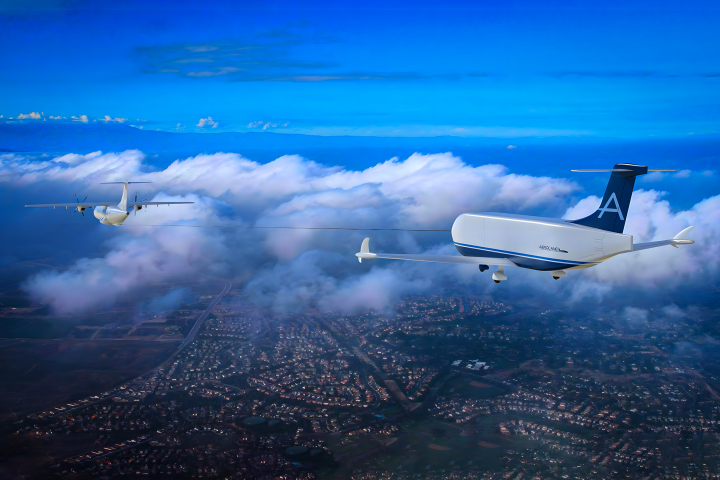
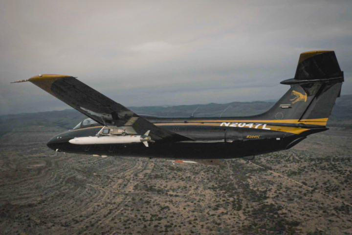
Unpowered cargo gliders on tow ropes promise 65% cheaper air freight
March 18, 2024A West Texas company says it's found a remarkably simple way to slash air cargo costs as much as 65% – by having planes tow autonomous, cargo-carrying gliders behind them, big enough to double, or potentially triple their payload capacity. -
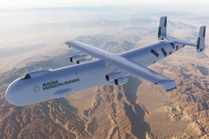
World's largest aircraft delivers colossal cargo to makeshift airstrips
March 17, 2024The 108-m (356-ft) long Radia Windrunner is designed to transport cargo too big for the road, to short, semi-prepared airstrips on rough terrain. It would dwarf the majestic 84-m (275-ft) long Antonov An-225 Mriya, which is sadly no longer with us. -
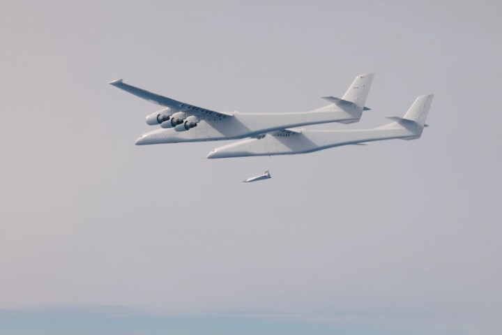
Video: Talon-A1 test vehicle makes near-hypersonic first powered flight
March 11, 2024Stratolaunch Systems, the company behind the world's largest aircraft, is making headlines again. The firm's Talon-A1 hypersonic test aircraft has successfully completed its first powered flight, which took place last weekend in Mojave, California. -

Video: Wave Engine's UAV test flight brings pulsejet into 21st century
March 08, 2024Wave Engine Corp has aced a demonstration flight of a simple jet engine with no moving parts. A modern version of a pulsejet, the J-1 engine powered a UAV through take-off and several mid-air stop/starts before the aircraft nailed the landing. -
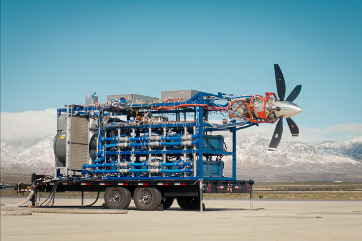
Video: Megawatt-scale liquid H2 airliner powertrain comes to life
March 03, 2024Universal Hydrogen is already flying the world's largest hydrogen airliner – and now the company has started testing swappable liquid hydrogen fuel modules that'll radically boost the range of clean passenger aircraft operations slated for 2026. -
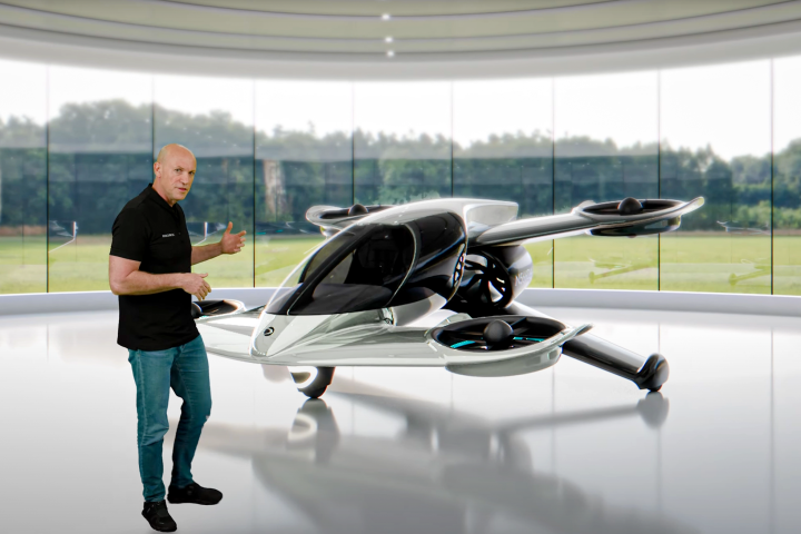
Video: Doroni's new fan-in-wing, cruise-capable, buy 'n' fly eVTOL
March 01, 2024After making its first manned eVTOL flight last June, Florida's Doroni Aerospace has announced its next model. The H1X rocks coaxial ducted fans and pusher props, and targets 120 mph (200 km/h) cruise speeds for up to 40 minutes.
Load More