
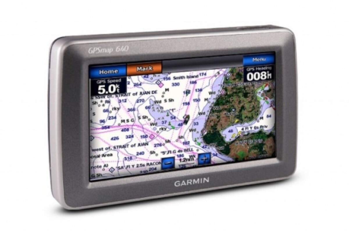


October 6, 2008 Garmin has combined elements of marine GPS navigation with a touchscreen user interface derived from the nüvi line of automotive units for its latest offering - the GPSMAP 600 series. The GPSMAP 640 and GPSMAP 620 (which is designed for markets outside the US) both feature a ruggedized, waterproof 5.2” WVGA touchscreen display and come preloaded with both street maps and marine charts.
The GPSMAP 640 comes with comprehensive street maps of North America and worldwide shaded relief mapping in addition to detailed U.S. coastal BlueChart® g2™ charts. There's also an option to include BlueChart g2 Vision™ technology which provides a 3-D “mariner’s eye view”, a “fish eye view” for an underwater 3D bathymetric contour perspective and best navigation route information with aerial photo references for points of interest (POI) such as ports, waterways and landmarks.
When fixed in the boat mount the units automatically start up in marine mode. When the fish are caught and it's time to return to land, the unit is attached to the car mount and automotive navigation mode takes over, providing voice-prompted turn-by-turn directions, custom POIs and proximity alerts.
The GPSMAP 640 can also be linked to XM WX Satellite Weather™ data using the GXM 40 antenna optional extra. This delivers information on wind speeds, visibility, severe weather storm tracks and location-specific data, plus around 200 channels and traffic-jam updates via XM Satellite Radio.
The international model - the GPSMAP 620 - provides a worldwide basemap with shaded relief and supports optional street map and marine chart data through an SD card slot.
Both units measure 5.9"W x 4"H x 1.9"D (15.0 x 10.2 x 4.8 cm), weigh 17.3 ounces (490.4 g) and feature a 800 x 480 pixel resolution with a rechargeable lithium-ion battery that lasts up to 9 hours.
The Garmin GPSMAP 620 is priced at USD$999.99 and the GPSMAP 640 carries an MSRP of USD$1199.99.
Via Garmin.


